
Irvington ZIP Code Directory Coverage
USPS identifies one confirmed standard postal ZIP for Irvington’s regular mailing area. The coverage row below preserves only the facts captured from official postal sources. It does not turn the label into a full municipal-boundary map, a list of neighborhoods, or a claim about every address in the Township. Verify a complete address with USPS before relying on it for mail or before comparing it to a tax or court record.
| ZIP | Area or postal label | Post office | Research note |
|---|---|---|---|
| 07111 | Irvington mailing area / Irvington NJ 07111 | Irvington Post Office, 1086 Springfield Avenue | Verify every address in USPS lookup; ZIP is postal geography, not a legal town boundary. |
No official postal source reviewed identified a second regular ZIP for Irvington Township, a local PO-box-only or unique ZIP, a complete ZIP-boundary map, or a ZIP realignment history. Those are research gaps, not evidence that no additional postal arrangement could ever exist.
Verify Irvington Postal Details with USPS
The official USPS lookup has three captured modes. Use By Address for an actual street address, not for a guessed town-and-ZIP pairing. The other two modes answer narrower postal questions: city and state can return ZIPs, and a ZIP can return associated cities. They do not establish municipal jurisdiction, parcel ownership, or an Irvington resident list.
| USPS mode | Captured input route | Appropriate use |
|---|---|---|
| By Address | Street address plus city/state, or street address plus ZIP | Validate a real delivery address and its postal form. |
| By City and State | City and state | List ZIPs associated with that postal city and state input. |
| Cities by ZIP | ZIP | List cities associated with the entered postal ZIP. |
USPS ZIP basics explain why postal geography can differ from municipal boundaries.
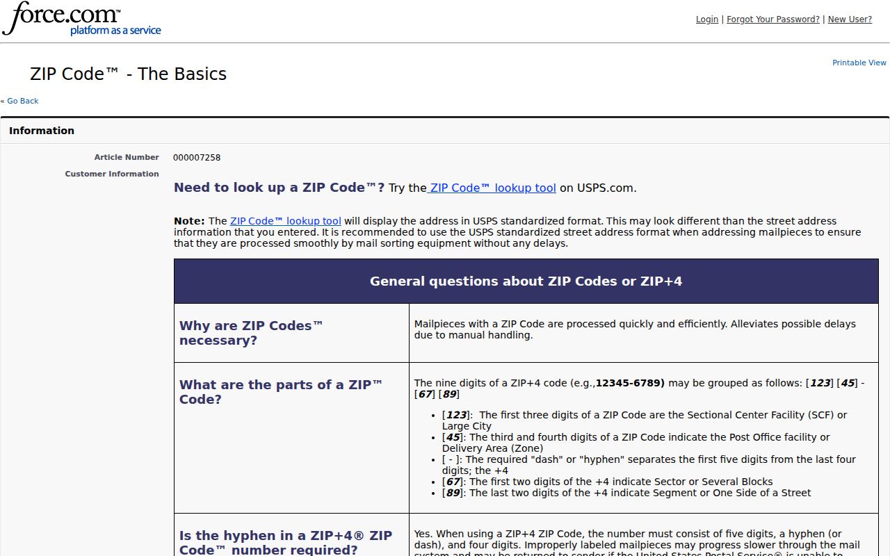
The postal result should be retained as a deliverability record. It should not replace the municipality or legal parcel description in an Irvington research note.
Search Irvington ZIP Code Records
A postal label can narrow a search, but no captured official source confirms a ZIP-wide resident export for Irvington. The local property portal’s ZIP-filter behavior was not exposed, and NJGIN documents address, county, municipality, block, and lot rather than a postal-wide people search. Use a complete address to move between systems, then record what each source is actually able to confirm.
- Run the known address through USPS By Address mode and retain the returned mailing form.
- Use the same address in New Jersey Property Explorer to find the Irvington municipality and the parcel’s block and lot.
- Open the Irvington Property Information Portal with Essex County and IrvingtonTWP selected, then verify any result field that is actually displayed.
- For a known individual, use the official voter registration check as a person-based status route, subject to its restrictions and exact-name matching.
- Use the parcel and legal description for the deed route, then keep the postal result as a separate delivery fact.
Once a ZIP result narrows the address, the Irvington street directory follows the parcel, deed, and historical-address chain without pretending that a ZIP is the land-record key.
Irvington Postal Parcel Fields
Property and postal records use different identifiers. The Irvington Property Information Portal describes municipal property information, permits, and board approvals after a user selects Essex County and IrvingtonTWP. Its captured landing page did not reveal live address, owner, block, lot, category, or result-card fields. Keep that limitation visible instead of calling a ZIP a supported portal filter.
| Source | Documented field or identifier | What remains unconfirmed |
|---|---|---|
| USPS lookup | Street plus city/state or ZIP; city/state; ZIP | It validates postal presentation, not a municipal parcel boundary. |
| New Jersey Property Explorer | Address, county, municipality, block, and lot | No promised ZIP-wide resident export. |
| Irvington Property Information Portal | Essex County and IrvingtonTWP selection | Result fields, ZIP filtering, fees, and whole-area browsing were not captured. |
A tax situs locates the parcel, while a tax mailing address tells where a notice goes. The legal description identifies the land in a deed. These fields can disagree with a postal string without creating an error.
Myth: Irvington ZIP Is a Boundary
It is not. USPS explains that a postal city and ZIP can differ from municipal boundaries, and an address can use a city name associated with a nearby postal operation. The official ZIP list’s Irvington row is not a complete town map. Do not infer a township line, neighborhood line, ownership boundary, or ward from the postal label alone.
Irvington Postal and Ward Maps
Irvington’s official map page provides tax maps, a zoning map, and a 2010 Census ward/district map. Wards and election districts are political or administrative layers. Parcels are assessment and GIS units. Postal ZIPs are delivery areas. An Irvington address can therefore carry a ward reference, a postal label, a historic directory title, and a street address at once without those categories being interchangeable.
Ward language also matters in local history. Official materials refer to East, West, North, and South Wards, and older sources may use a ward or district instead of the modern postal label. Search a surname or address with a dated ward term when the record itself uses that vocabulary.
Irvington Postal Historical Labels
ZIP information is a modern delivery layer, not the way older Irvington household sources were arranged. The Township history says the area was part of Clinton Township until the Village of Irvington became an independent municipality on March 27, 1874. Voters rejected Newark-annexation proposals in 1903 and 1908. Older directories, county records, and maps may therefore use Clinton, Irvington, Newark area, Oranges, or a ward/district instead of a present postal string.
When an address appears to shift across records, bridge it with a tax-map block/lot, a deed’s legal description, the directory year, and a contemporary USPS result. Rutgers’ Irvington directory reels cover 1946–1967, while State Library inventory has selected Orange-area runs from 1916 and the 1930s and 1940. Those sources can be searched by street where a reverse section exists, but they should not be retrofitted with a ZIP label.
Irvington Postal Coverage Gaps
Several Irvington postal questions remain unresolved in the official material reviewed. There is no complete municipal ZIP-boundary map, no documented realignment history, and no second regular ZIP confirmed for the Township. The captured Irvington property portal did not show whether it accepts a postal filter, and the official state parcel documentation does not promise a ZIP-wide people search. Keep each of those gaps in a research note instead of supplying a boundary or search method from a nonofficial map.
Use 07111 as a formatting test. Run a known Irvington address through USPS By Address mode, then compare the returned postal city and ZIP with the municipality shown in the Township tax or GIS route. If the strings differ, retain both. A postal city is not a neighborhood name or a substitute for the legal municipality. This is especially important when a dated source uses Clinton, Newark area, Oranges, or a ward label.
Irvington ZIP Code Terms
These terms help keep an Irvington postal result in its proper role. The local research established only the standard 07111 postal label. It did not establish a local PO-box-only or unique label, carrier-route number, complete boundary map, or realignment history.
- ZIP and ZIP+4
- A ZIP directs mail to a delivery area. ZIP+4 adds a more specific delivery segment. USPS should verify both for an actual address.
- PO-box ZIP
- A postal label used for post-office boxes. No local PO-box-only ZIP was identified in the Irvington research.
- Unique ZIP
- A postal label assigned to a single organization or high-volume recipient. No Irvington unique ZIP was identified in the research.
- Carrier route
- A USPS delivery grouping within a broader postal area. No Irvington carrier-route identifier was captured for this directory.
Irvington Post Office ZIP Records
The official Irvington Post Office listing identifies the location at 1086 Springfield Avenue, Irvington, NJ 07111-9998, and gives location-specific service information. The listing confirms a postal location, but it does not map the whole Township or identify the occupants of addresses using the postal label.
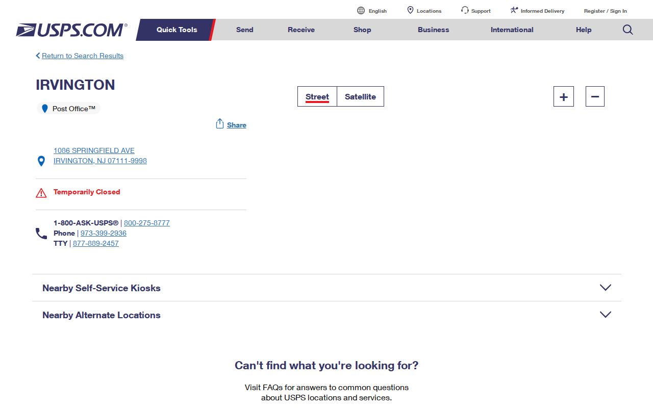
Use the post-office listing with the address lookup when mail service details matter. Property, voter, and deed questions remain with their separate official custodians.
Irvington ZIP Directory Limits
An Irvington postal directory cannot substitute for a parcel file, deed chain, voter record, or historical directory. The postal record answers whether an address is formatted for delivery. It does not prove who owns the land, who receives tax mail, who occupies a unit, or where municipal jurisdiction begins and ends. NJGIN parcel polygons are also reference data, not legal surveys, and protected owner names can be redacted under Daniel’s Law.
Use the correct next step for the question: USPS for a delivery form, New Jersey Property Explorer for address or parcel identifiers, the Irvington portal for local property context, Register/PRESS for recorded land instruments, and the voter registration check for a known individual. Note: No official source reviewed confirmed a ZIP-wide Irvington resident list or complete ZIP boundary map.